All year round, Morzine is a holiday destination for families, friends or those simply looking to enjoy the great outdoors. Morzine is the ultimate destination for a getaway thanks to the wide range of activities, entertainment and events, and above-all the vast ski area. Come and spend your winter or summer holiday in a typical, authentic mountain village.
Morzine: A 100% AUTHENTIC VILLAGE
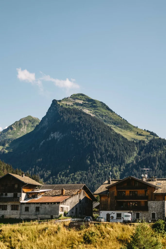
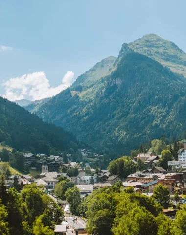
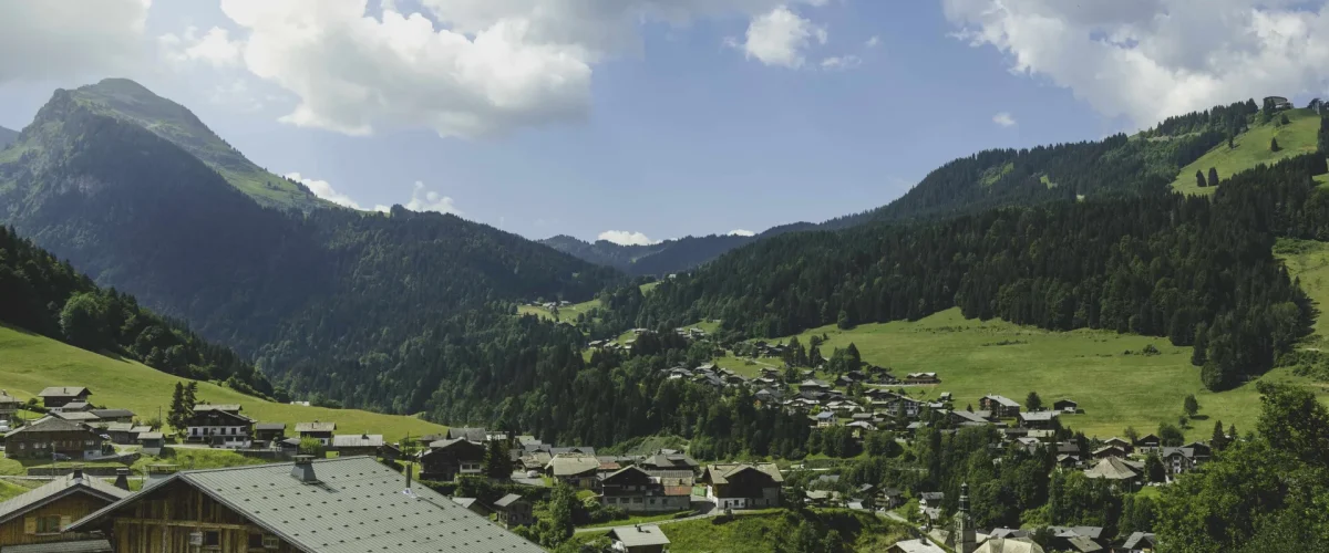
From the Chamossière peak, you’ll be able to see Lake Geneva to the north, Mont-Blanc to the south and the Swiss border is a mere stone’s throw away… This gives you an idea of where Morzine is, <strong>this town nestled in an Alpine valley, surrounded by mountains and forests. You’ll come across an easy-going lifestyle there and the<br>authentic charm of a village that still boasts its traditional Savoyard spirit.
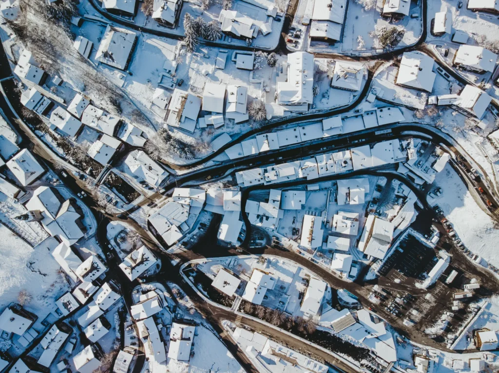
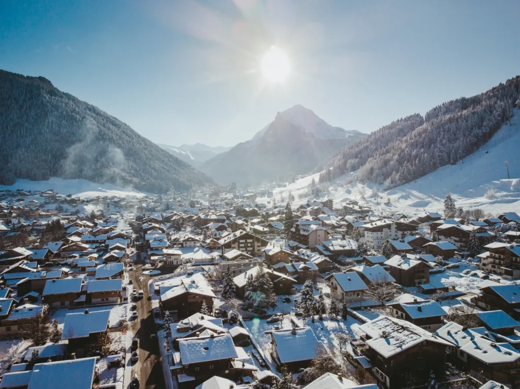
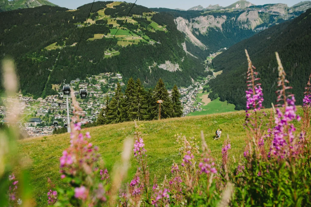
Morzine is in the ideal location at the heart of the Portes du Soleil ski area, and is both an authentic mountain village and a ski resort providing access to an incredible all-round winter skiing destination with 650 km of slopes. In the summer, these slopes become marked-out trails for MTB and hiking. Come and explore the vast stretches of untouched nature and 3 lakes that surround the resort, at your own pace.
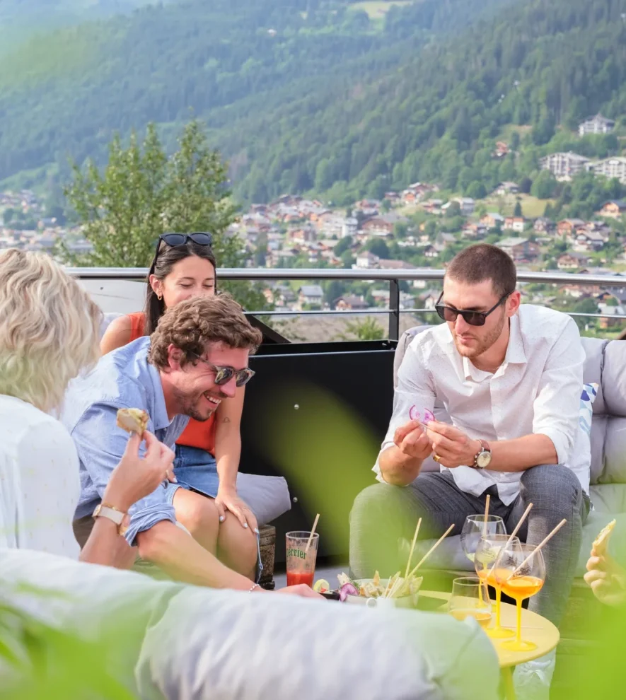
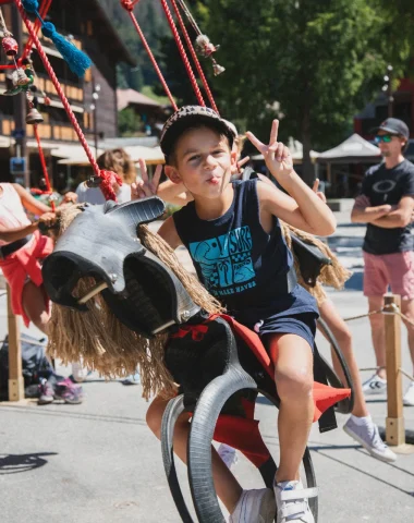
Whether just for a few days or for a longer holiday, sporty visitors or those looking to contemplate the scenery come to Morzine to spend quality time as a family or with friends, to enjoy the simple, but essential things in life, for a meaningful experience all round.
Once upon a time…
Morzine …
when tourism first began
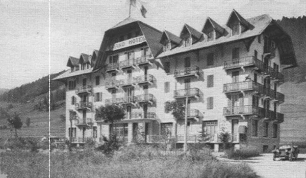
Le Grand Hôtel
Some believe that the story of Morzine’s tourism sector all began due to the well-meaning stubbornness of a handful of senior officials working in Geneva at the time, who had fallen in love with this village nestled down in Aulps Valley, where the outline of the mountains reflects both the gentle curves of the Alpine pastures and the staggering cliffs.
But it was in fact the Grand Hôtel, the very first tourism hotel, built in the 1920s, and its owner François Baud, who kicked off this new chapter in the village’s history. The arrival of the summer holidaymakers was a breath of fresh air for the locals who made a modest living from farming and the already declining slate mine industry.
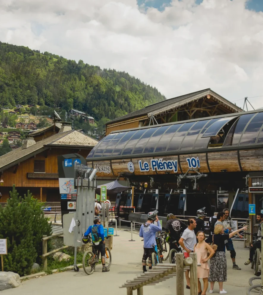
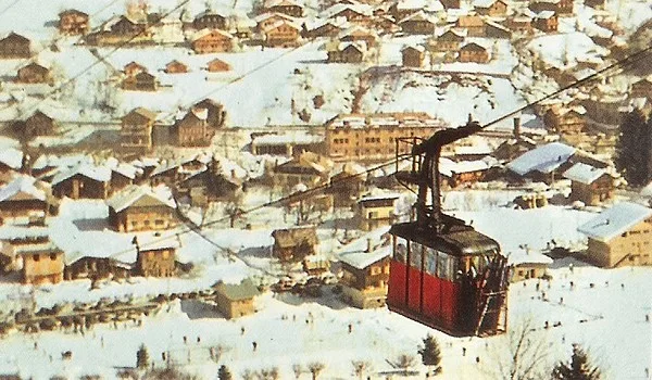
1934
Pléney Cable Car
As tourists became more and more daring, they also started to come here in winter. The thick layer of snow brought with it the possibility of exciting and never-before-seen activities and sports such as sledging, ski-joering, the beginning of downhill skiing and even ski jumping! A grand resort with so much potential…
In 1934, Morzine held a lavish inauguration event for Le Pleney cable car, which up until then was only used by walkers and to reach the views across the Alps. Skiers stayed down in the valley’s reassuring meadows. This infrastructure was the start of a new era for Morzine and visitors found the village increasingly intriguing…
Typical character
Morzine TODAY
A Perfect Blend of Tradition and Sustainable Tourism
Today, Morzine is still the exact same place as it was in the past. It has managed to keep its typical character and develop sustainable tourism at the same time. It is a ski resort that is ideally located in Haute-Savoie, providing the perfect destination for a family holiday, and Morzine’s welcoming spirit of hospitality is passed on from one generation to the next.
Morzine has also managed to preserve its wonderful art-de-vivre, thanks in part to the traditional gourmet specialities of these mountains. A living heritage made up of pastoralism, mountain traditions, typical specialities of Haute-Savoie, and a local dialect that is still spoken among the older generations. Come and experience this ‘art-de-vivre’ first hand in everyday life here.
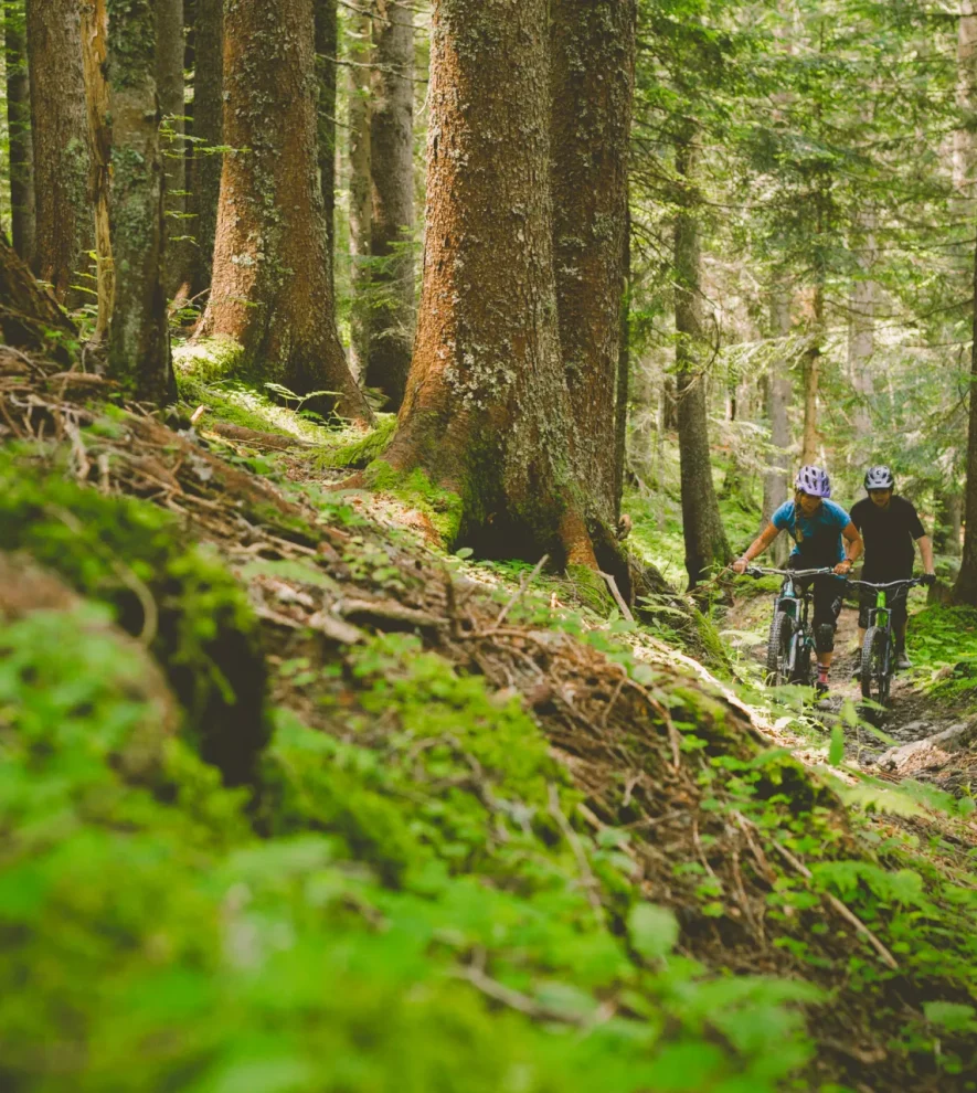
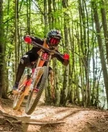
Adding to these long-standing traditions, the younger generations have also made their own contribution, and see Morzine from a different perspective. The many MTB trails at Morzine Bike Park also attract younger, sporty visitors. The Le Pleney Bike Park is now renowned in Europe and across the globe. Even for the most passionate of riders, Morzine is the dream destination for mountain biking and they flock here to ride the trails. They can also use the Super Morzine gondola lift to reach Avoriaz, meaning that in the same day, it’s possible to enjoy both bike parks for the ultimate, exciting day out. Authenticity and modernity have never looked so good together!


Natural and Dynamic
A booming sports and cultural scene
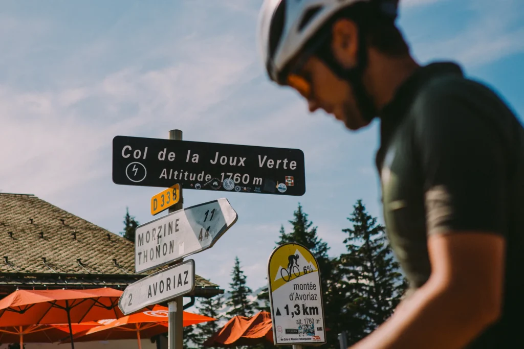
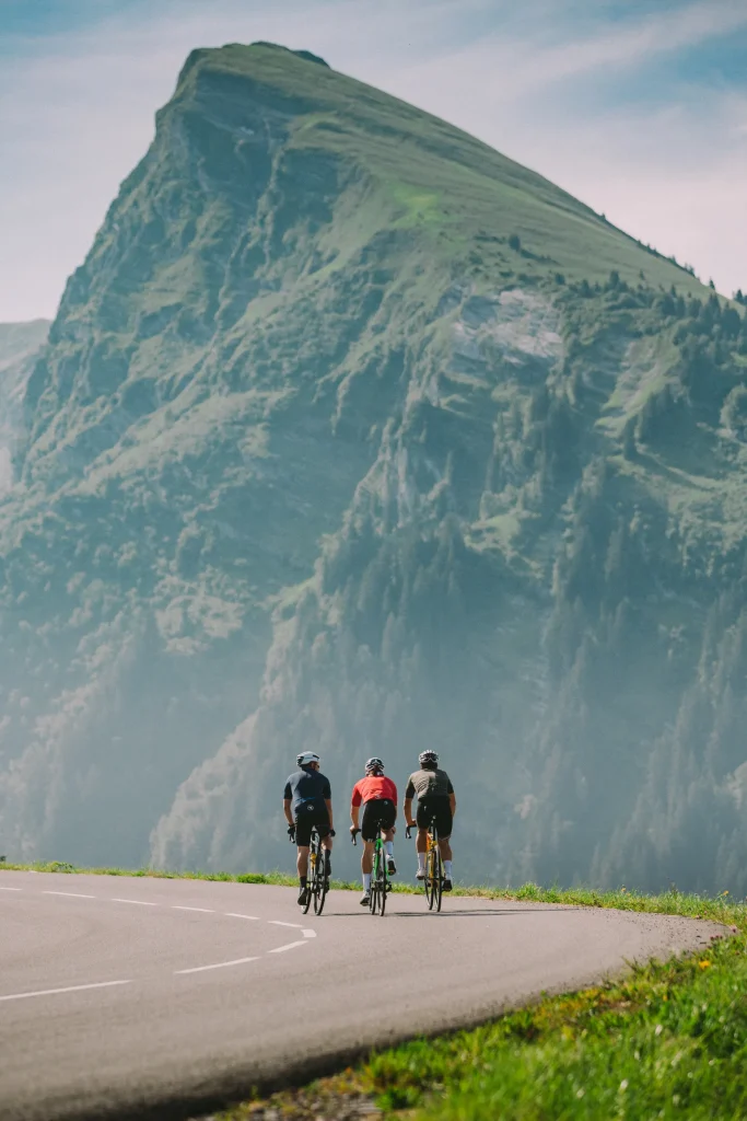
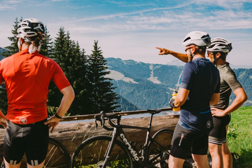
Morzine has also been chosen as a stopover village for the Tour de France around fifteen times, making the village a reference in the world of mountain cycling. The Route des Grandes Alpes, an iconic road often featured in the Tour de France, is a challenge for all cyclists, whatever their level of ability. This route is a sporty sightseeing trail covering 700 km from the north of the Alps to the south and then all the way down to the Mediterranean Sea. It’s most definitely a challenge but the route and the scenery are worth it!

Label
This emphasis on road cycling has led Morzine to earn the prestigious “Ville à Vélo” label from the Tour de France in 2022. This designation recognizes communities committed to promoting bicycle mobility and creating an environment that supports cycling as a viable and enjoyable mode of transportation.
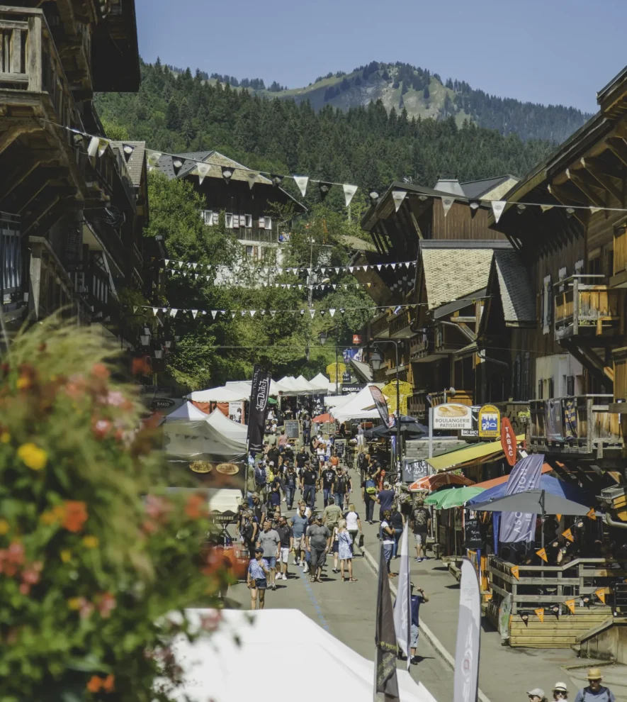
Events
Rock The Pistes AND Harley Days
After cycling through the mountains, it’s time to discover music in the mountains…
Every winter, the Portes du Soleil is transformed into an open-air stage for the Rock The Pistes festival. For a whole week, concerts are held in the twelve resorts across the ski area, right in the middle of the ski slopes. IAM, BB Brunes, Skip The Use, Caravan Place, Kungs, Gaëtan Roussel and many others have already performed at this festival. So if you’d like to go from resort to resort watching a different concert every day, come to Portes du Soleil in March!
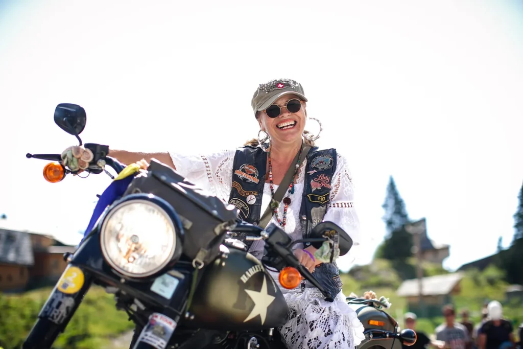
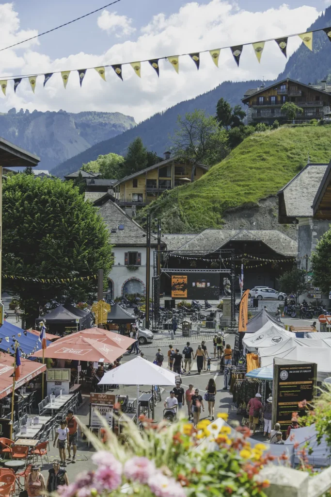
Still on the theme of music, this time we recommend coming in the summer, in July for the Morzine-Avoriaz Harley Days. This bi-annual event on the theme of motorbikes and rock is a chance for bikers to get together and has been a roaring success for several years now. Harley Days is usually a four-day event and there’s a free rock concert every evening. The group Status Quo even performed on the last day of the 2022 festival, much to the delight of rock fans. In summer and winter, there’s always something going on in Morzine for both tourists and locals!

So… Are You Ready for a Vacation in Morzine ?
The Morzine reservation center offers a wide selection of accommodations, including hotels, chalets, and lodges, ensuring that you find the perfect place to stay during your visit.
Take advantage of promotional offers to make your stay even more enjoyable and budget-friendly. Our team is dedicated to helping you plan the best possible experience, whether you’re here for adventure, relaxation, or cultural exploration.
For more information and to explore our various packages, please visit our dedicated website. Start planning your dream vacation in Morzine today!