1/ From the "Les Culées" car park, take the forest track towards the Col de la Balme.
2/ At “Mouilles dernier” : turn right towards the Col de la Balme
3/ At Richefond, continue to follow the signs for the Col de Balme on the right
4/ At the Col de la Balme, take the path on the left towards the Col de la Lanche
5/ Below the Pointe de la Balme, turn left towards the Pointe de la Balme and the Col de la Lanche
6/ At the Pointe de la Balme, continue straight ahead on the path
7/ At the Col de la Lanche, continue straight on towards the Pointe de la
Gay
8/ Below the Pointe de la Gay, follow the signs for the Pointe de la Gay, on the left
9/ At the Pointe de la Balme, follow the
ridge as far as the Col des Chavannes
10/ At the Col des Chavannes, take the path on the left towards
“Les Chavannes”
11/ At Les Chavannes, follow the signs for “Dessus la Lanche”
12/ At “Dessus la Lanche”, continue on the right towards “Vers les Crottes”
13/ At “Vers les Crottes”, follow the signs for “Les Culées”.
14/ At “Les Frasses”, take the carriageway on the right towards “Les Culées”
15/ At “Mouilles dernier”, continue towards the “Les Culées” car park.
Itinerary details
Alert
Description
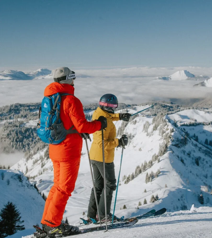
A 360° panorama awaits you from the top of the Pointe de la Gay, with breathtaking views of Mont Blanc, the Roc d’Enfer and all the surrounding peaks.