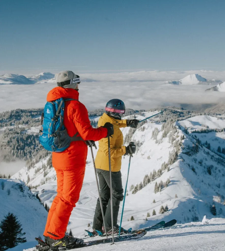
The trail starts from the Avoriaz plateau
a steep climb (+70m ascent) to the
to the Avoriaz ridge.
a steep climb (+70m ascent) to the
to the Avoriaz ridge.
Itinerary details
Description
The route continues downhill, following the signs for the "Cascade des Brochaux" waterfall, which takes a good hour to reach. After stopping at the waterfall, take the Mossettes chairlift.
Top of the chairlift (2,277 m): here you are in Switzerland (yellow trail signs). Descend towards Lac Vert (1,972m) and the refuge (40 mins). You may meet the shepherd and his flock of sheep. From the lake, climb up to the Col de Chésery (1,992m), which marks the Franco-Swiss border.
From the pass, follow the GR5 towards the Col de Rochasson through rhododendrons and bilberries. Beware: many mountain bikes!
At the Chaux Fleurie intersection (1,805m), leave the path leading up to the Col de Rochasson on the right and fork left towards La Léche-rette and Les Lindarets. The path, narrow at first, crosses a small stream and then joins the ski slope that winds its way up to La Lécherette (40 mins). Return to Avoriaz via the Lindarets chairlift.


