The tour of the alpine pastures from Fréterolle to Chardonnière
From Lac des Mines d'Or (Manche valley), climb up to the Fréterolle chalets (20 mins).
Itinerary details
Description
This is your 1st stop: goat's or cow's cheese (refreshment bar and mountain restaurant). Return to the "Col de Cou par la forêt" path. After a 5-minute walk, turn right into the forest at the "Refuge de Chardonnière : 45min" sign. Cross the log bridges over the torrent (wet passages).
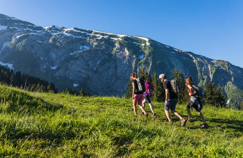
At the torrent de Chardonnière (1500m – basin), continue in the direction of Chardonnière. You’re at the foot of the Terres Maudites, the large rocky bar that closes off the landscape towards the Dents Blanches. Here, at the Plan des Heures, it’s not unusual to come across roe deer, marmots or chamois!
A short descent through the undergrowth to the chalet refuge de Chardonnière: 2nd stop for the mountain pasture and its products.
A wide forest track takes you to the Pont de Chardonnière in 10 mins.
This is where the Dranse de Morzine rises!
From the Pont de Chardonnière, turn right to take the left-hand path “Le Charny par la forêt”, which runs alongside the stream and comes out onto the road. Cross the road and climb “Les Mines d’Or par la forêt” to Lac des Mines d’Or (25 mins.), a Geopark Chablais geosite (thematic displays). If you’re still hungry, the restaurant is your 3rd gastronomic stop!


